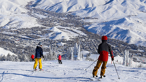
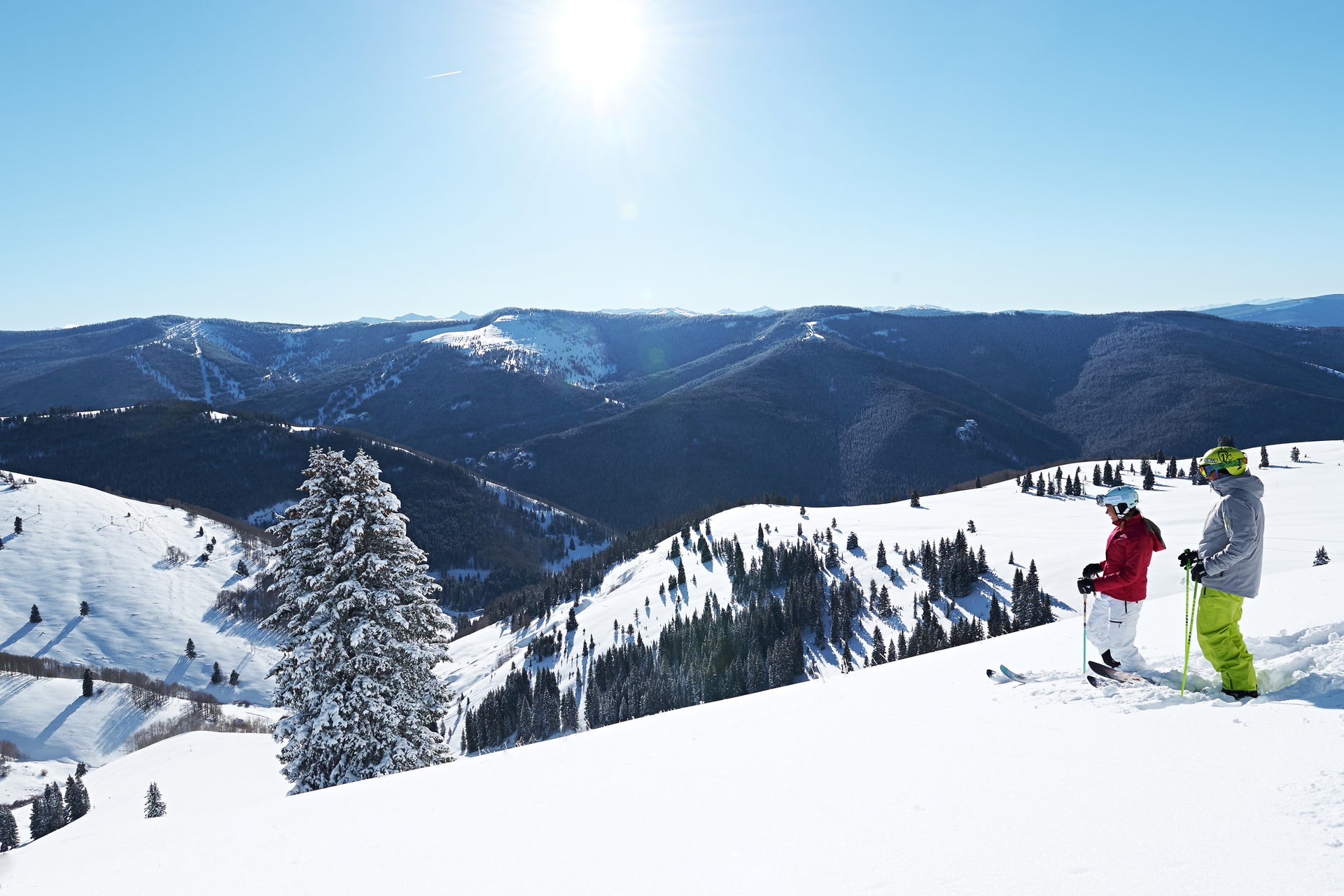
Tomer's Take:Ski Big Sky, Jackson Hole, Grand Targhee or Sun Valley on Friday. Ski Steamboat, Breckenridge, Loveland, Winter Park, Arapahoe Basin or Vail on Saturday. Ski Banff on Sunday or the Wasatch under sunny skies on Sunday.
Copyright: Meteorologist Chris Tomer
One large storm system dominates the next five days. It starts out West then rolls East. Behind it, the jet stream (storm track) shifts north into the Pacific Northwest.
A weak El Niño continues to influence the weather across the US. Southern track storm systems have been abundant over the last couple of months. The consensus of forecasts maintains a weak El Niño into summer.
The pattern is dry until the western storm system arrives in Utah on Thursday with snow in the Wasatch. That snow hits Colorado Thursday night into Friday. Snow tapers-off on Saturday morning. 2-8 inches of total snow is possible at the ski areas in Utah and Colorado by Saturday morning. Take a look at Alta, Snowbird, and Snowbasin on Friday. Take a look at Steamboat, Loveland, Winter Park, Vail, Breckenridge and Arapahoe Basin on Saturday.
Best odds for snow in the next five days, March 28, 2019.
A Clipper rolls through Thursday night into Friday with light snowfall. The larger Western storm system pushes warm air into New England between Saturday and Sunday. The precipitation could be rain at the ski areas. The rain changes over to snow Sunday afternoon through Monday morning as colder air sweeps in.
Snow continues on Thursday then turns lighter and may linger into Friday morning. Additional accumulation at Tahoe to Mammoth is light to moderate. The best skiing may be on Thursday. Sunshine skiing on Friday. The weekend is dry as the storm track shifts north. Snow returns on Tuesday.
Wyoming, Montana, Idaho Weather
One large storm system delivers moderate to heavy snow accumulation between Thursday and Friday. Lighter accumulation in northern Idaho and northern Montana. The pattern dries out until the jet stream shifts north with a new storm system arriving by Monday packing moderate to heavy snow. Look at Sun Valley, Big Sky, Grand Targhee, and Jackson Hole on Friday. Grand Targhee and Jackson Hole again on Saturday.
Season snow so far
Copyright: Meteorologist Chris Tomer
Pacific Northwest Weather
Light snow continues on Thursday and may trickle into Friday. That storm system moves east then the storm track shifts north into a more favorable position. Snow returns between Sunday night and Tuesday.
Very light snow is possible Thursday-Friday. The weekend looks mostly dry until light snow spreads in Sunday night into Monday. Overall, not a great pattern for WB.
Banff Weather
Overall the pattern between Thursday-Saturday is not favorable. Light to moderate snow is possible on Sunday and could linger into Monday morning.