OnTheSnow News

Ski Towns to Visit in Summer
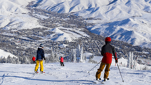
Many of the best ski towns aren’t just for the winter ski season. In fact, most ski towns are as good, if ..

10 of North America’s Most Stunning Summer Train Trips
Skip the cramped legroom of a flight and the traffic of a road trip to experience one of North America’s g..

The Ultimate Escape: 72 Hours at Minnesota’s Giants Ridge
Sponsored by Giants Ridge Minnesota is without question magical during the summer, and one ..

Iconic Outdoor Music Venues That Are Worth the Drive
As the days get longer and warmer, it means that the summer concert season isn’t far away. And across Amer..

Dog-Friendly Summer Mountain Getaways in North America
As summer heats up, it’s time to load the car with your four-legged best friend and head to the mountains,..

The Perfect Summer Vacation in Whistler, British Columbia
Sponsored by Tourism Whistler Whistler is the ultimate summer destination, offering thrill-forward experiences, ..