OnTheSnow News
The Most Unique Ski Experiences in North America
Not all ski days are created equal. If you’re planning another ski trip but craving something beyond lapping g..
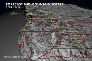
Snow Before You Go: Where to Find the Best Snow This Week
Ready to hit the ski slopes? Check out Meteorologist Chris Tomer’s North America snow forecast to find out..
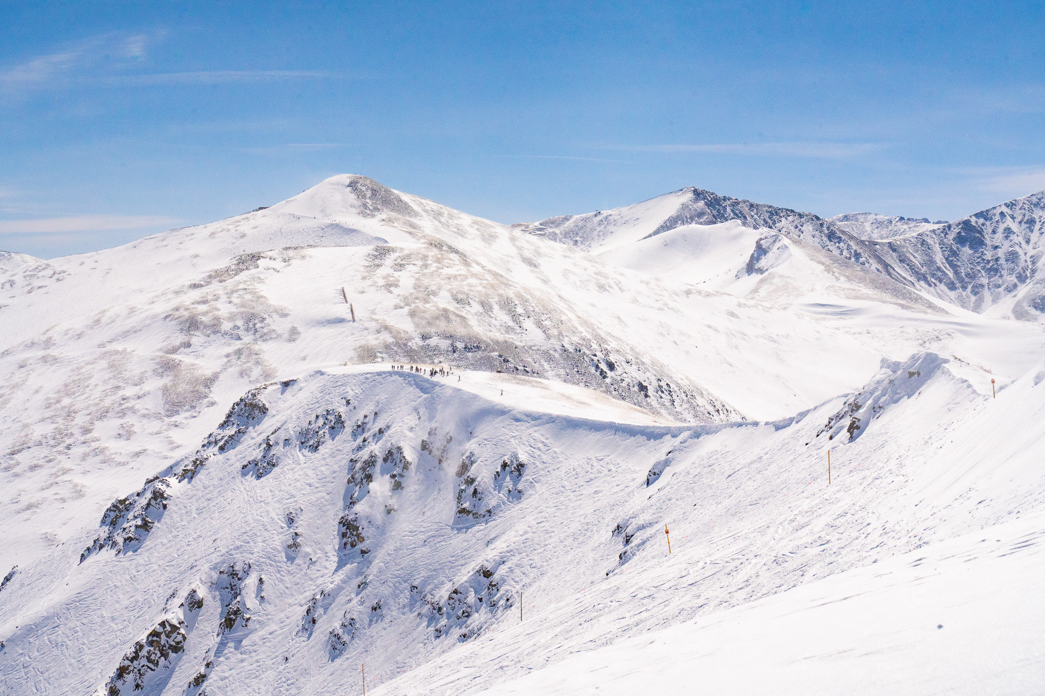
Toyota Big Mountain Challenge Brings Breckenridge’s Five Peaks to Life
Toyota is bringing the energy, beats, and some of the nation’s best freeskiers and freeriders to Brecken..

The Best Ski Resorts for People Who Don’t Ski
For some, the appeal of a winter getaway lies in first chair, ripping down steep runs, and floating through deep..
5 Ways To Experience a Montana Winter
Sponsored by Montana Department of Commerce Montana has a way of feeling larger than life—from its sweeping..
The Most Affordable Ski Resorts in Canada
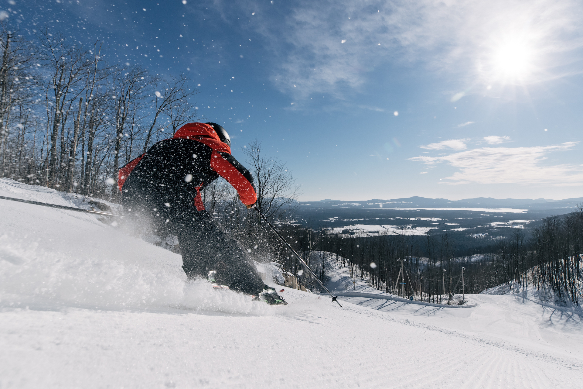
Canada is home to huge, world-famous ski resorts, from British Columbia to Alberta to Quebec. However, many of C..


