Here’s a meteorological fact of life you Californians can use to show off in pares-ski conversations. There’s a process called orographic lift that is responsible for more than half the snow that falls on the larger mountains in the Golden State. Here’s it works:
The moist wind is forced to rise when it hits a mountain. Rising air expands due to lower pressure, and this expanding air cools, allowing the moisture to condense into the snow. Let’s take a look at the mountain ranges in California, how these ranges create their own weather, and where you can find the highest snow totals.
In other words, air can’t go through a mountain, obviously, so it cools when it hits a major terrain feature like a mountain. If that cooling is sufficient, water vapor condenses into clouds. And that, drumbeat please, results in snow.
The climate of California is maritime, meaning that it is close to an ocean moisture source. This often means higher snowfall compared to states that are further from the coast, but it also means that the snow is generally heavier and thicker with the added moisture.

Forecasting snow in California is somewhat less complex than in other states since there is only one major mountain range. The Sierra Nevada mountains extend nearly 400 miles from northern California to the lower elevation desert area in the south.
Mt. Whitney is the highest peak in this range, and also the highest peak in California and the lower 48 states. (Alas, no ski lifts on it). It tops out at 14,505, just 65 feet higher than the next tallest peak in the lower 48 states, which is Mt. Elbert in Colorado.
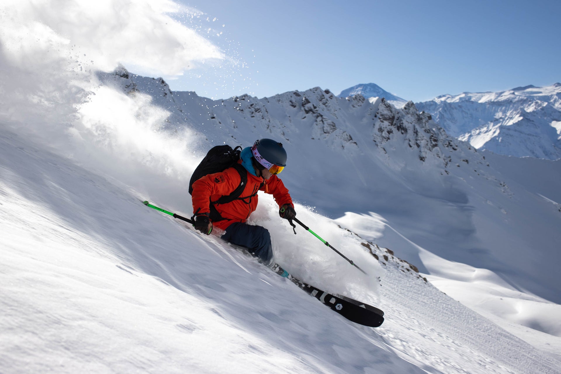
The largest snowstorms for the Sierra Nevada mountains have their origin in the Pacific Ocean. As these storms move into California from the west, the wind direction makes a direct strike on the Sierras leading to sharply ascending air and high snowfall rates.
If the Pacific storms move in from a more southerly direction, the snowfall can be deeper due to added moisture, but the snow itself will be heavier due to warmer temperatures. Storms that move in from the northern Pacific bring somewhat less moisture but make up for this with colder temperatures and lighter, fluffier powder.
Sierra ski resorts

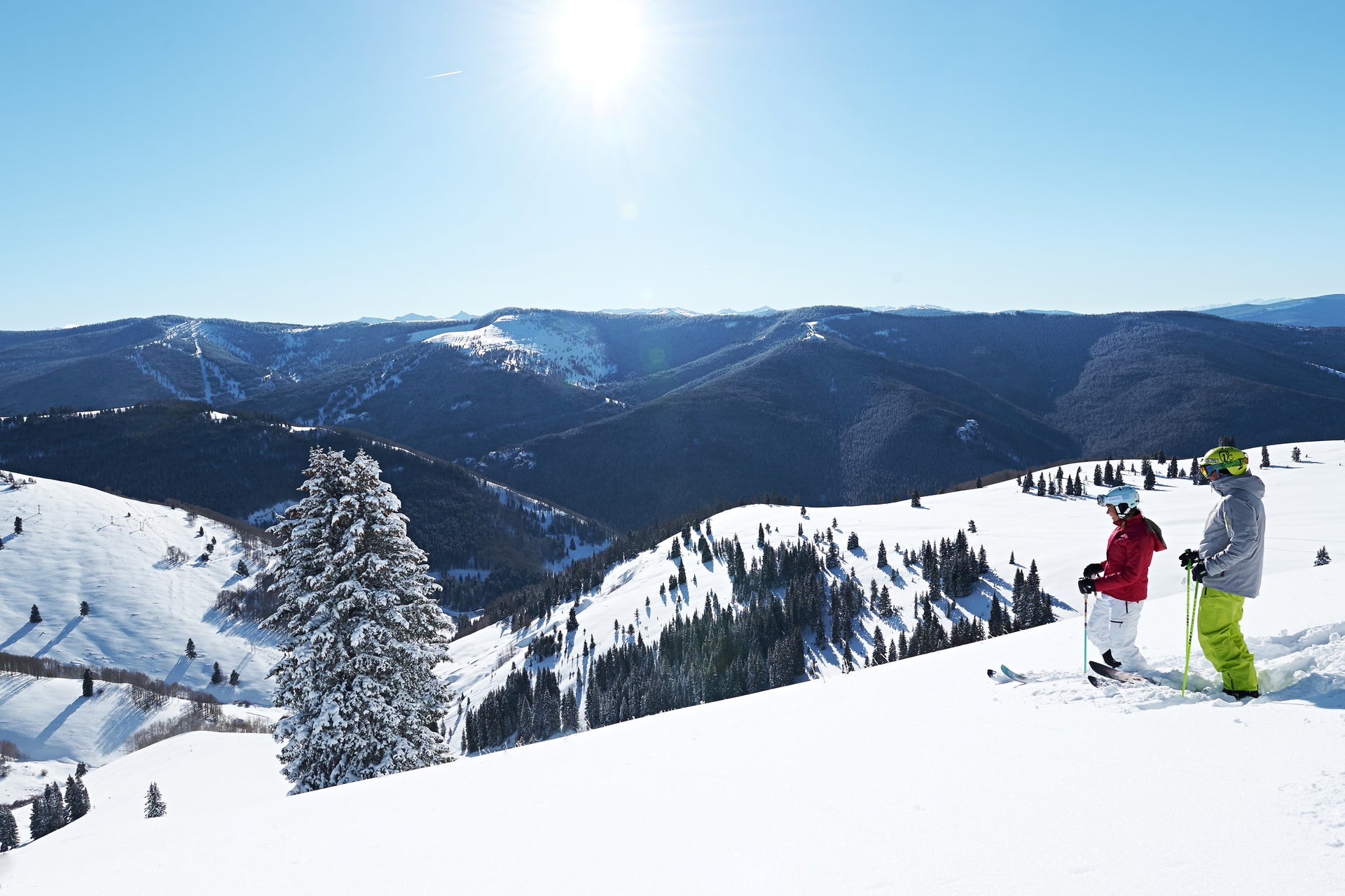
The Lake Tahoe resorts are located in the northern section of the Sierras, where the otherwise straight California/Nevada border makes a sharp turn. Even though the ski resorts in this region are in the same mountain range, slight differences in elevation and location lead to very different snow amounts.
Resorts that are closer to the Sierra Crest—the highest point of the range located just west of Lake Tahoe—see the most snow with resorts further east seeing less. This is because the higher mountains to the west block some of the snow from moving further east across the lake.
“We have an average snowfall of 450 inches and 300 sunny days,” says Sam Kieckhefer of Squaw Valley/Alpine Meadows. “Big snow and big sun are totally unique to California resorts.”
Further south, Mammoth Mountain is in the central Sierras near Mono Lake. The high elevation of the Mammoth ensures cold temperatures and high snowfall amounts at the upper reaches of the mountain. In southern California, two smaller yet formidable mountain ranges border Los Angeles to the north. The San Bernardino and San Gabriel mountains extend to over 10,000 feet and the ski areas in these mountains, such as Big Bear and Mountain High respectively, can see good snowfall from storms that impact the southern part of the state.
The secret season
OK, it’s not really a secret, but it a formidable reason for skiing and riding. “The secret season” (as described by Californiahighsierra.com) hits each year in April and May, providing the winter months provided sufficient largess. The proximity of the High Sierra to the Pacific Ocean means the snowpack has a higher moisture content, leading to a deep snowpack.
The combination of generally warm weather during the day and cool weather all night leads to a condition famous in California called “corn snow.” That soft snow can make some people nervous because it can be a bit sticky, all you really have to do is not force your turns and let your skis and boards do the work. You’ll get the hang of it soon and their secret will be out.
Fun fact: How cold does it have to be to snow? Snow forms when the atmospheric temperature is at or below freezing (0 degrees Celsius or 32 degrees Fahrenheit and the air contains a minimum amount of moisture. When the temperature at ground level is also at or below freezing the snow will reach the ground and stick.
When’s the best time to head to California to ski or ride? Conventional wisdom says come during the traditional ski months of December, January and February. That’s when all the big extra events occur and the holidays are packed with activities. You won’t go wrong. But, just between us, don’t overlook that so-called secret season.
A California Hint: If you see storms coming toward you from the west, get ready for a big powder day.

Read more:
Does elevation affect temperature?
How the mountains of Colorado make natural snow
Snow science: How mountains make snow