It doesn’t quite feel like another ski season is nearing until we’ve talked about El Niño and La Niña. These two major weather patterns can greatly influence global climate, and especially temperatures and snowfall across North America. And as the 2025-26 ski season approaches, La Niña is approaching along with it.
Before talking about El Niño and La Niña, however, it’s important to have some context and understand what defines normal conditions. As the National Oceanic and Atmospheric Administration (NOAA) writes, “During normal conditions in the Pacific Ocean, trade winds blow west along the equator, taking warm water from South America towards Asia.” Cold water then rises from the depths to replace that warm water. This is known as “upwelling.” The cold water then cools the air in the region. This is why San Francisco is known for its cool, foggy summers. As the NOAA continues, “El Niño and La Niña are two opposing climate patterns that break these normal conditions.”
La Niña vs. El Niño
La Niña means that the sea surface temperatures in a large area of the central and eastern equatorial Pacific Ocean (around the equator) are below normal. Conversely, El Niño means that sea surface temperatures are above normal in the eastern tropical Pacific Ocean, and that there’s higher-than-normal air pressure over the western Pacific. These sea surface temperature fluctuations can significantly influence global weather patterns, especially during winter in the U.S.

This strong influence on winter weather is important because it provides some confidence in the seasonal snow forecast ahead of the start of the ski season. Many people, and even meteorologists, are skeptical of long-range weather forecasts, and especially those that purport to predict amounts of snow or rain several months into the future. Forecasts aren’t typically very instructive for an entire winter in the absence of La Niña or El Niño events. However, when El Niño or La Niña events influence the weather patterns, meteorologists often can provide a more confident seasonal forecast by looking at snowfall and weather patterns from past La Niña seasons. In short, La Niña gives us a historical guide to forecasting the future.
“La Niña tends to organize the wintertime jet stream in a way that favors the Pacific Northwest and Northern Tier of states with the most consistent winter snowfall,” writes OnTheSnow meteorologist Chris Tomer. As Tomer continues, “La Niña tends to leave California and the Southern Tier of states drier and warmer than normal.” This pattern isn’t conducive to atmospheric river setups, and drought can deepen as a result.
What Will La Niña’s Impact Be On This Ski Season?
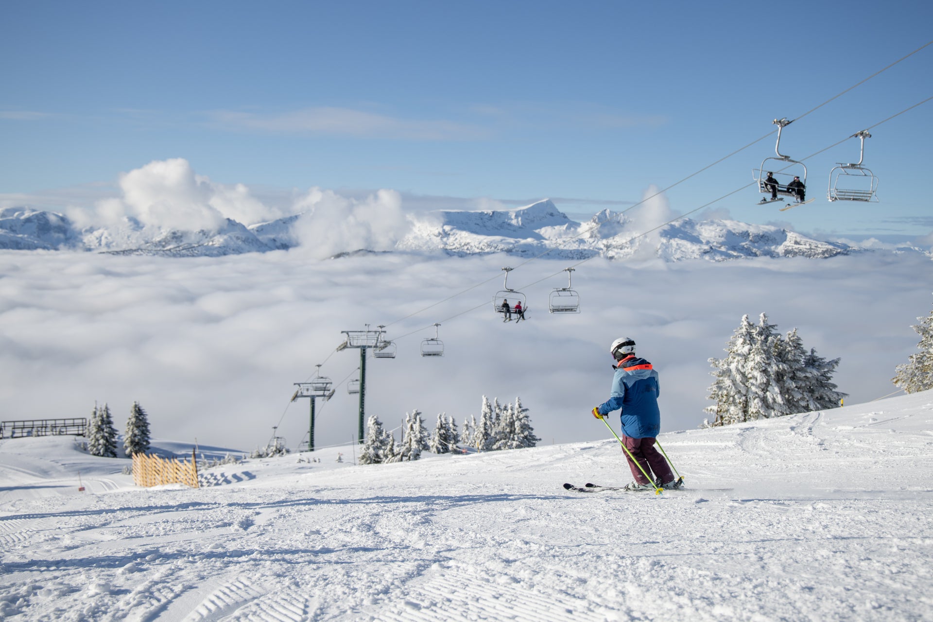
La Niña has been a dominant weather force in recent years. North America experienced a rare Triple-dip La Niña during the 2022-23 season, when it saw three consecutive seasons of La Niña. This had only occurred 3 times in the last 73 years, according to meteorologist Chris Tomer. And what a winter it was. The 2022-23 ski season saw a number of ski resorts out West, particularly in California and Utah, break snowfall records. That was then followed by a 2023-24 El Niño event, which dissipated at the end of the spring.
La Niña returned last winter, for most of the 2024-25 season, before dissipating in April. The NOAA has stated that La Niña is favored for the upcoming fall and early winter. In October the NOAA announced that La Niña conditions were present and expected to persist through December 2025 to February 2026. A transition to ENSO-neutral is likely early in 2026.
So what does a La Niña pattern mean for the upcoming ski season? As Meteorologist Chris Tomer wrote in his long-range winter forecast, “What we often see with La Niña, and the orientation of the jet stream, is that it lends itself naturally to northwest flow setups.” Tomer continues, “This, plus the wind direction, play a major factor in snowfall. The northern polar jet stream will dominate this winter, but at times the southern jet stream will also contribute. A few atmospheric river setups are likely.”
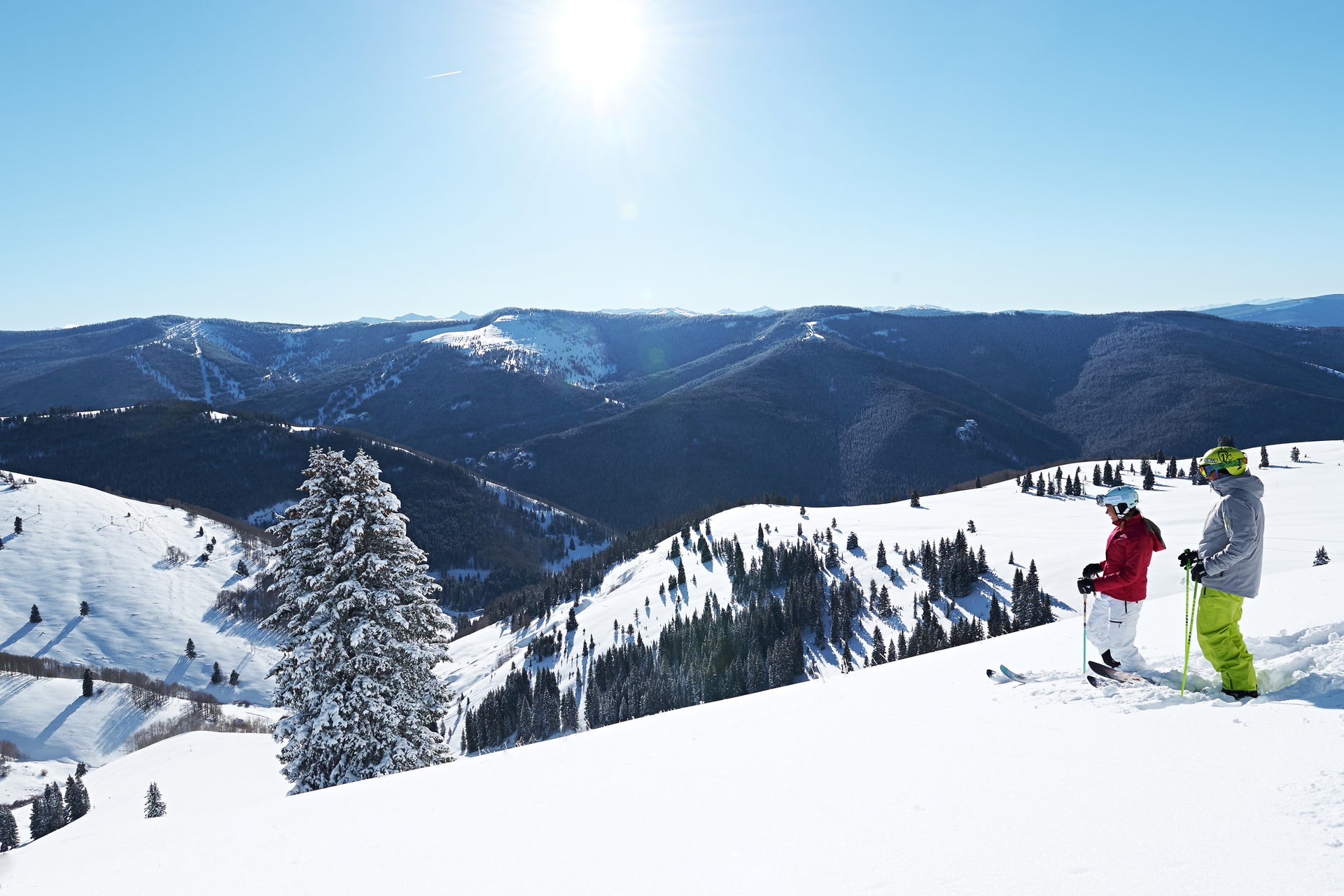
The Pacific Northwest, northern tier states, and Canada stand to benefit the most from a La Niña pattern. However, that’s not always the case, as evidenced by the 2022-23 ski season, when regions that were expected to be drier and warmer, like California and Utah, had record-breaking winters. Nonetheless, past La Niña patterns provide some context and guidance for what a La Niña winter could hold.
As Chris Tomer wrote in his long-range winter weather forecast, this winter might at times resemble last season. You can watch Tomer’s complete long-range winter forecast below. Subscribe to our YouTube channel, where Chris will be sharing twice-weekly snow forecasts beginning in November.
Regardless of how the upcoming La Niña materializes, you can count on snow. Time will tell just how much snow that North America will see. Yet it’s already off to a good start for some ski resorts. You can see our recommendations for early-season skiing here.
Be sure to subscribe to our newsletter, and follow us on Instagram and Facebook, for the latest updates, and download our app, so you can see the latest ski conditions, snow forecasts, and more.