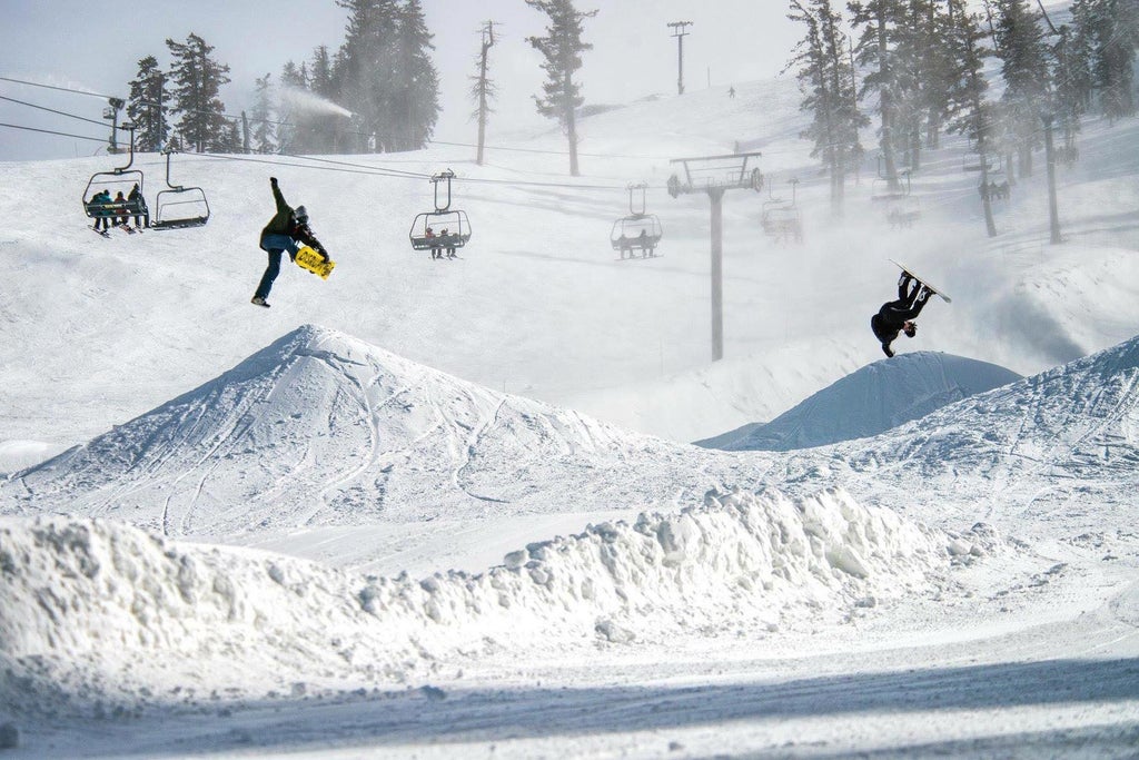
- # 2 Terrain Park in Nevada
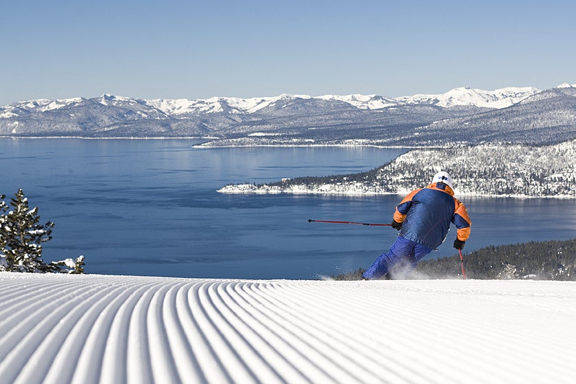
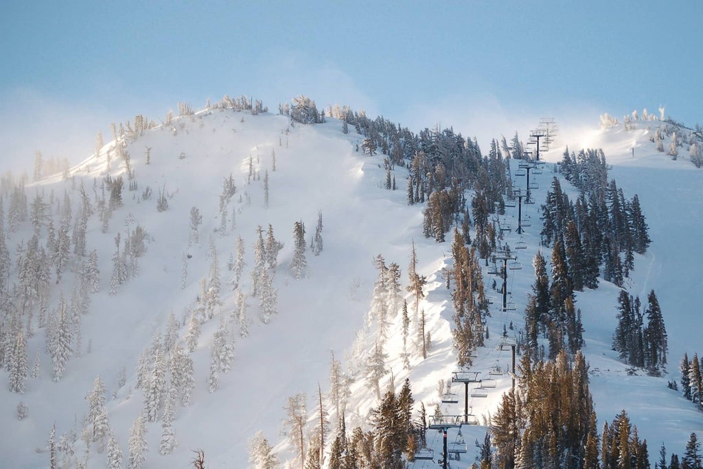
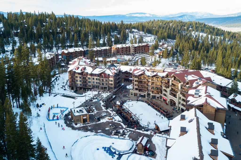
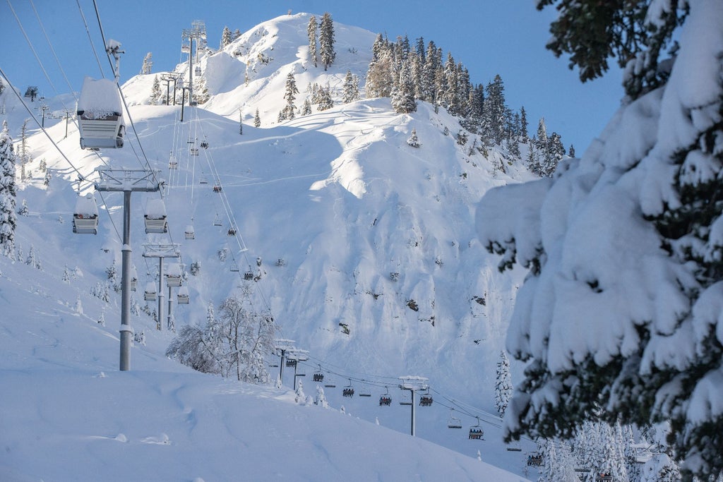
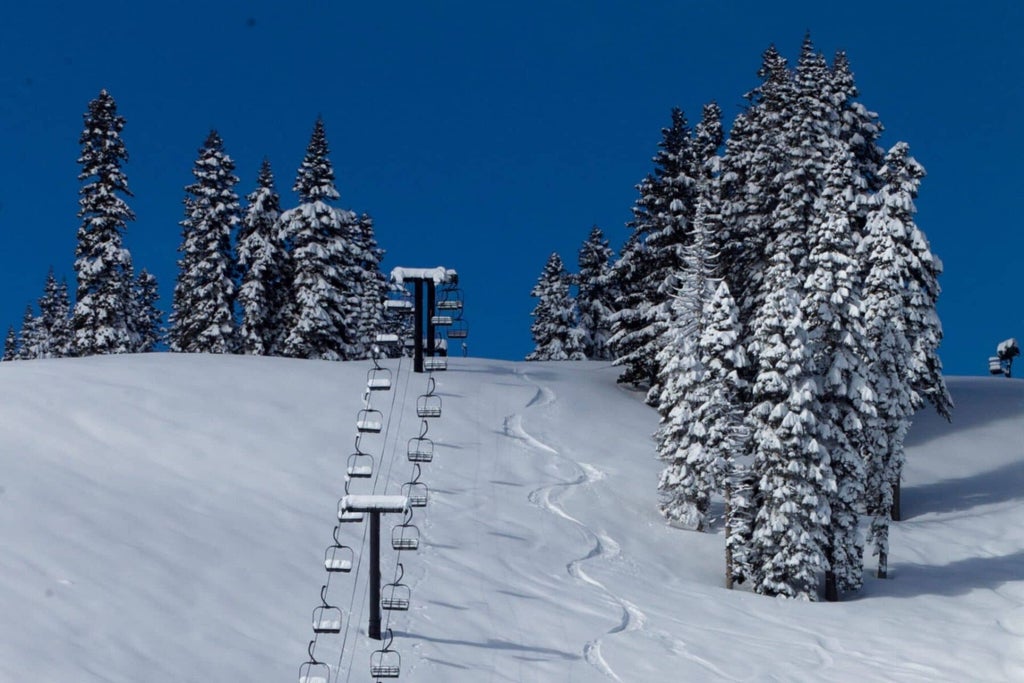
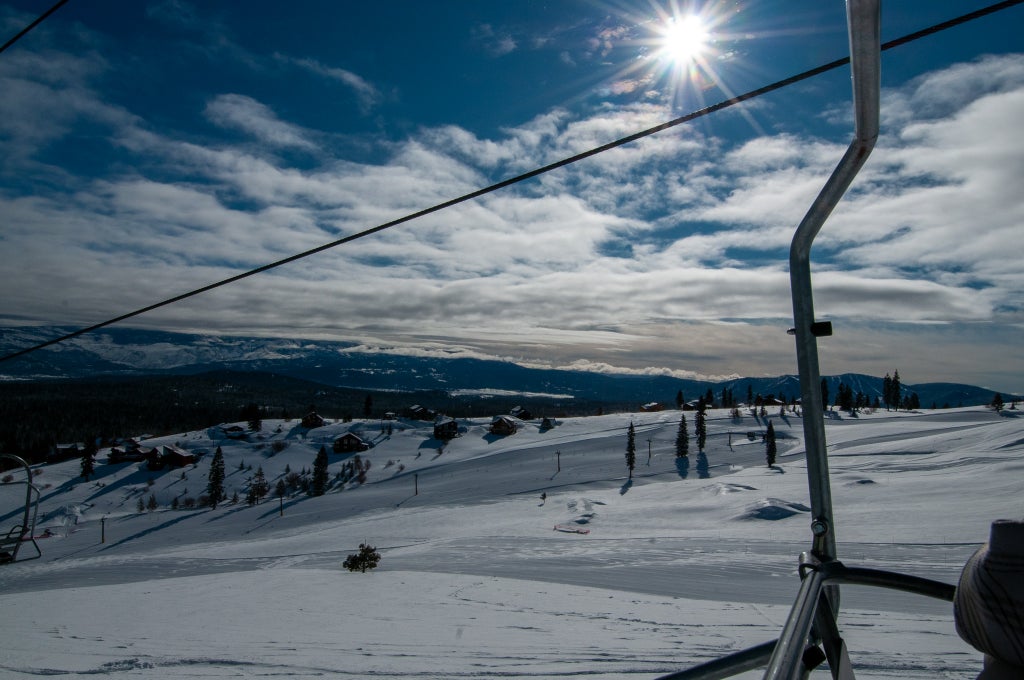
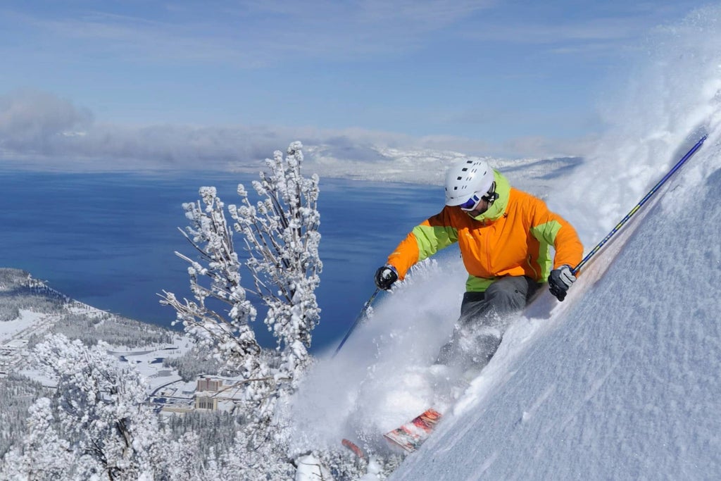
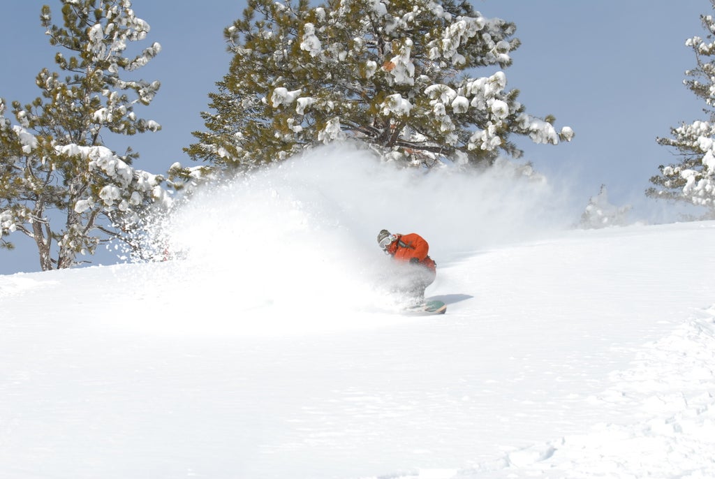
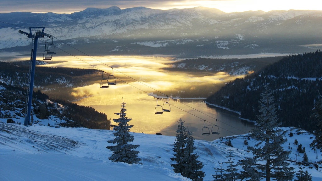
Diamond Peak Ski Resort
NEVADA / DIAMOND PEAK


Try SkiGPT
A faster, friendlier way to get snow reports, live cams, and resort info.
Where to Stay
Plan Your Trip
Transportation
Important Dates
Projected opening date
Dec 18, 2026
Projected closing date
Mar 28, 2027
Projected Days Open
122
Days Open Last Year
128
Years Open
60
Average Snowfall
202"
Terrain
Beginners Runs
8%
Intermediate Runs
28%
Advanced Runs
33%
Expert Runs
33%
Runs in Total
40
Longest Run
2.1 mi
Skiable Terrain
655 ac
Snow Making
492 ac
Lifts
7
High Speed Quads
1
Quad Chairs
2
Double Chairs
3
Surface Lifts
1
Inside Scoop
Reviews
Andy Levy
Nearby:
Copyright © 1995-2026 Mountain News LLC. All rights reserved.